File:Araçanic Dialect map.png
Jump to navigation
Jump to search
Size of this preview: 430 × 599 pixels. Other resolution: 606 × 844 pixels.
Original file (606 × 844 pixels, file size: 63 KB, MIME type: image/png)
Summary
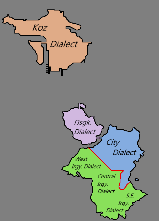
Map showing Kozdenen and Araçana’s administrative divisions, labeled by dialect.
File history
Click on a date/time to view the file as it appeared at that time.
| Date/Time | Thumbnail | Dimensions | User | Comment | |
|---|---|---|---|---|---|
| current | 09:59, 6 October 2025 | | 606 × 844 (63 KB) | Outlaw Sly (talk | contribs) | Map showing Kozdenen and Araçana’s administrative divisions, labeled by dialect. |
You cannot overwrite this file.
File usage
The following page uses this file: