File:Nalinakal-Sea.png
Size of this preview: 736 × 600 pixels. Other resolution: 1,090 × 888 pixels.
Original file (1,090 × 888 pixels, file size: 148 KB, MIME type: image/png)
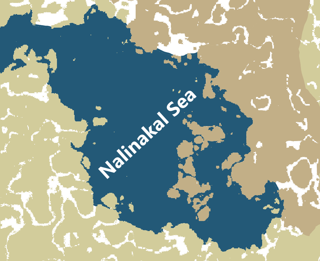
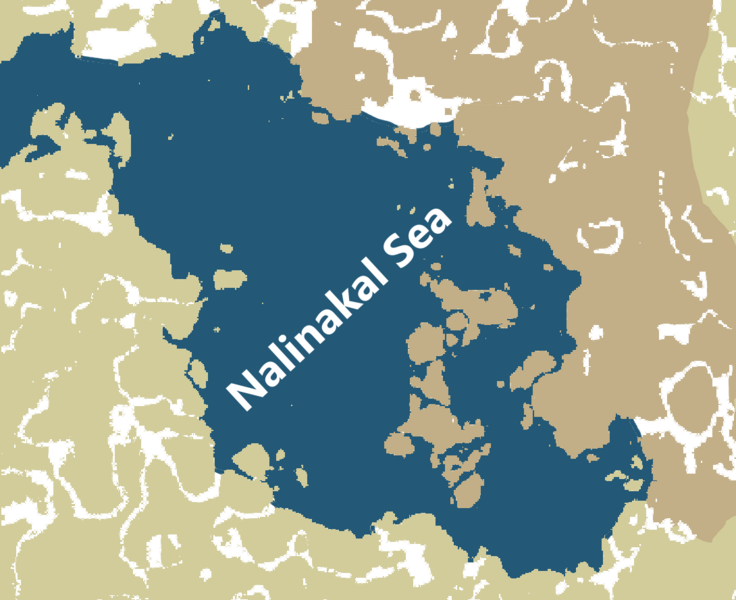
Map of the Nalinakal Sea between Ŋafrica and Hlambigla
File history
Click on a date/time to view the file as it appeared at that time.
| Date/Time | Thumbnail | Dimensions | User | Comment | |
|---|---|---|---|---|---|
| current | 12:37, 1 June 2025 | | 1,090 × 888 (148 KB) | Pikkuhiljaa (talk | contribs) |
You cannot overwrite this file.
File usage
The following 2 pages use this file: