File:Operation santa slay map.png
Size of this preview: 600 × 600 pixels. Other resolution: 700 × 700 pixels.
Original file (700 × 700 pixels, file size: 221 KB, MIME type: image/png)
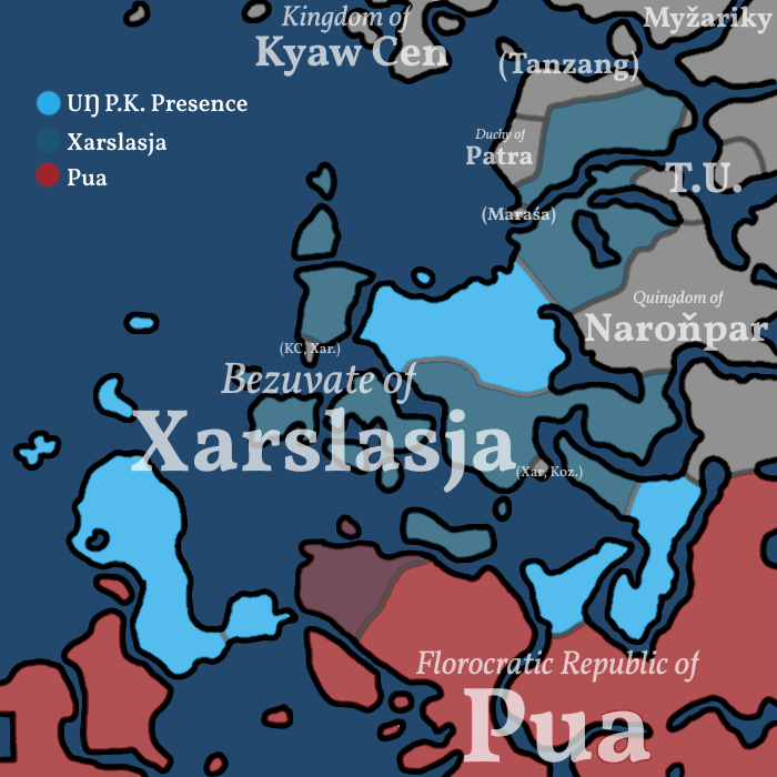
A map of the conflict between Pua and Xarslasja prepared by the Avenyan Department of Geography (Agenciak)
File history
Click on a date/time to view the file as it appeared at that time.
| Date/Time | Thumbnail | Dimensions | User | Comment | |
|---|---|---|---|---|---|
| current | 11:22, 4 April 2026 | | 700 × 700 (221 KB) | Agenciak (talk | contribs) |
You cannot overwrite this file.
File usage
The following page uses this file: