File:Map-pereganesia.png
Jump to navigation
Jump to search
No higher resolution available.
Map-pereganesia.png (452 × 457 pixels, file size: 321 KB, MIME type: image/png)
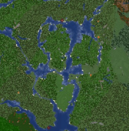
Satellite Image of Pereganesia
File history
Click on a date/time to view the file as it appeared at that time.
| Date/Time | Thumbnail | Dimensions | User | Comment | |
|---|---|---|---|---|---|
| current | 12:21, 16 June 2024 | | 452 × 457 (321 KB) | Sheikah (talk | contribs) |
You cannot overwrite this file.
File usage
The following page uses this file: