File:Gulf-Union-map.png: Difference between revisions
Jump to navigation
Jump to search
No edit summary |
(Sheikah uploaded a new version of File:Gulf-Union-map.png) |
| (2 intermediate revisions by 2 users not shown) | |
(No difference)
| |
Latest revision as of 20:07, 3 March 2025
Map of the Gulf Union
File history
Click on a date/time to view the file as it appeared at that time.
| Date/Time | Thumbnail | Dimensions | User | Comment | |
|---|---|---|---|---|---|
| current | 20:07, 3 March 2025 | 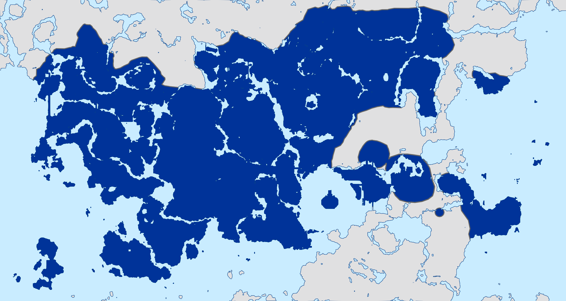 | 1,880 × 1,000 (286 KB) | Sheikah (talk | contribs) | |
| 19:36, 3 March 2025 |  | 1,024 × 545 (303 KB) | CMCollective (talk | contribs) | Updated the KKC to include Monke Island | |
| 18:54, 28 February 2025 | 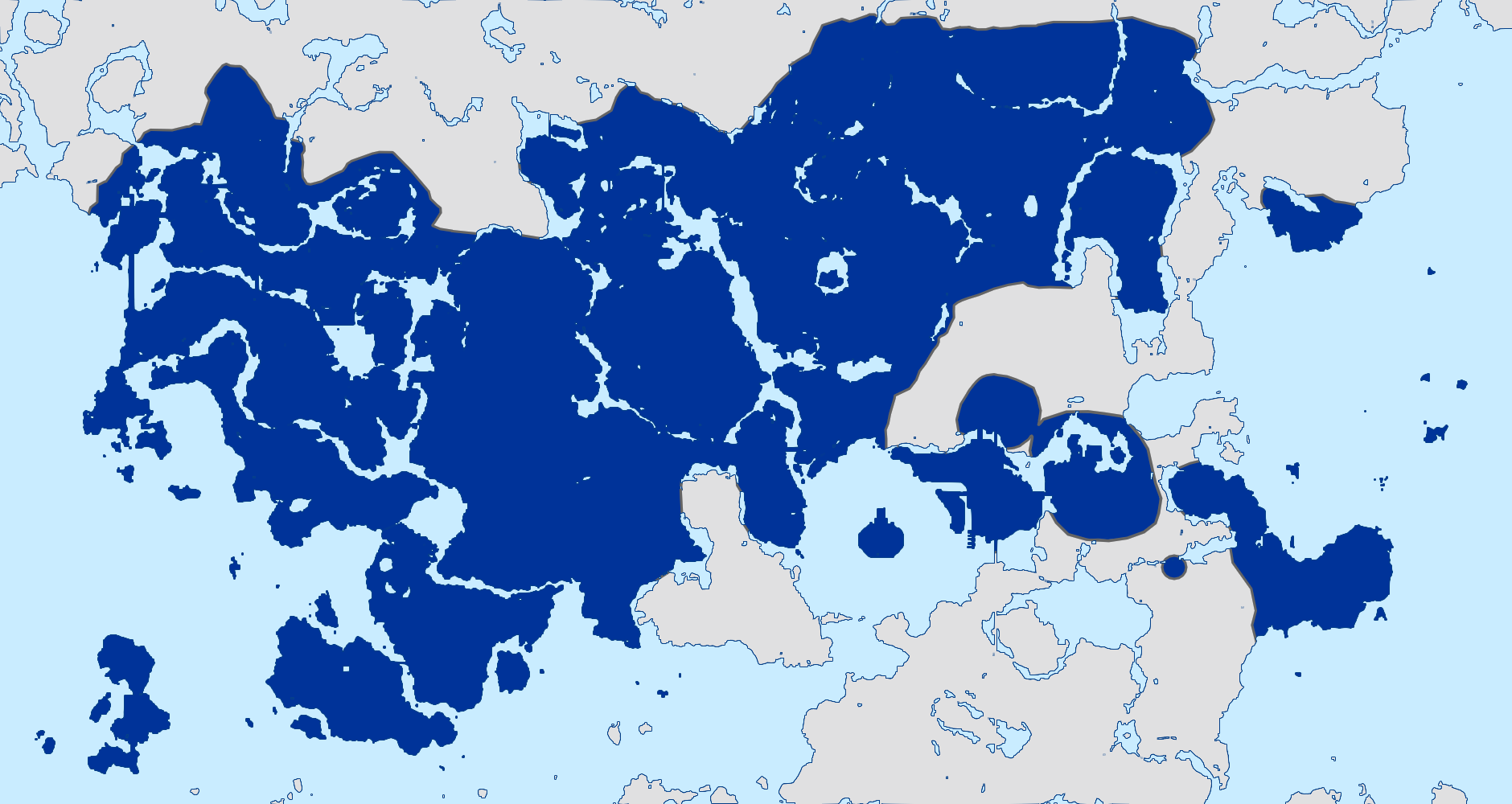 | 1,880 × 1,000 (288 KB) | Sheikah (talk | contribs) | corrected mapabal | |
| 20:30, 24 February 2025 | 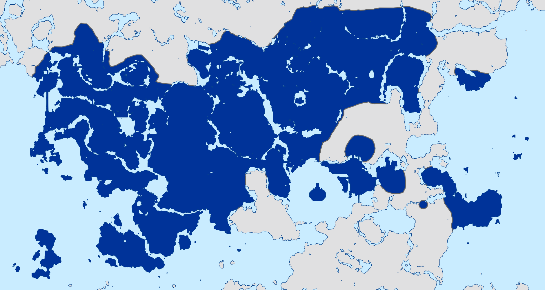 | 1,880 × 1,000 (286 KB) | Sheikah (talk | contribs) |
You cannot overwrite this file.
File usage
The following page uses this file: