File:Gulf-Union-map.png


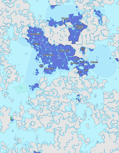
Size of this preview: 465 × 600 pixels. Other resolutions: 1,588 × 2,048 pixels | 4,032 × 5,200 pixels.
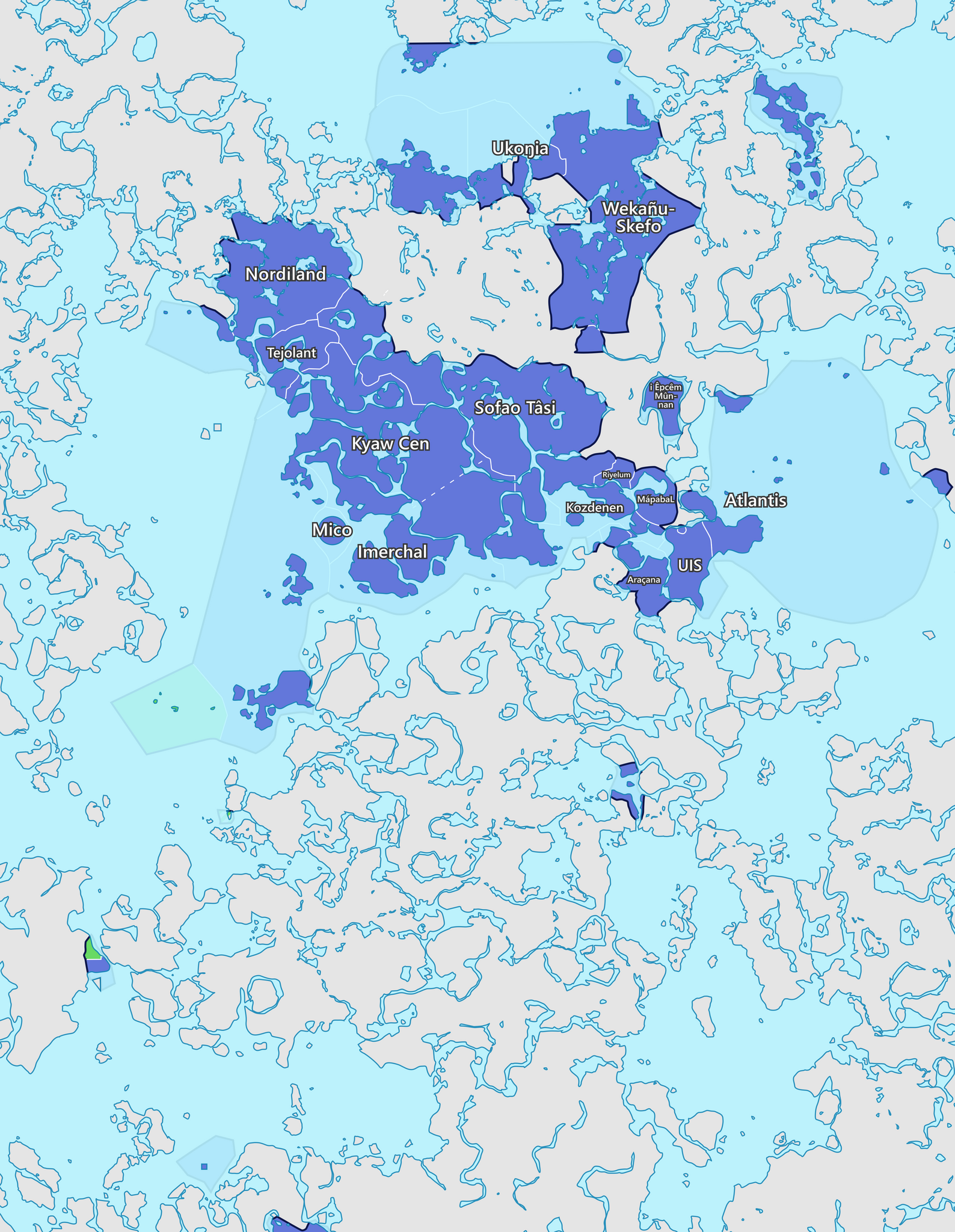
Original file (4,032 × 5,200 pixels, file size: 4.47 MB, MIME type: image/png)
Map of the Gulf Union
File history
Click on a date/time to view the file as it appeared at that time.


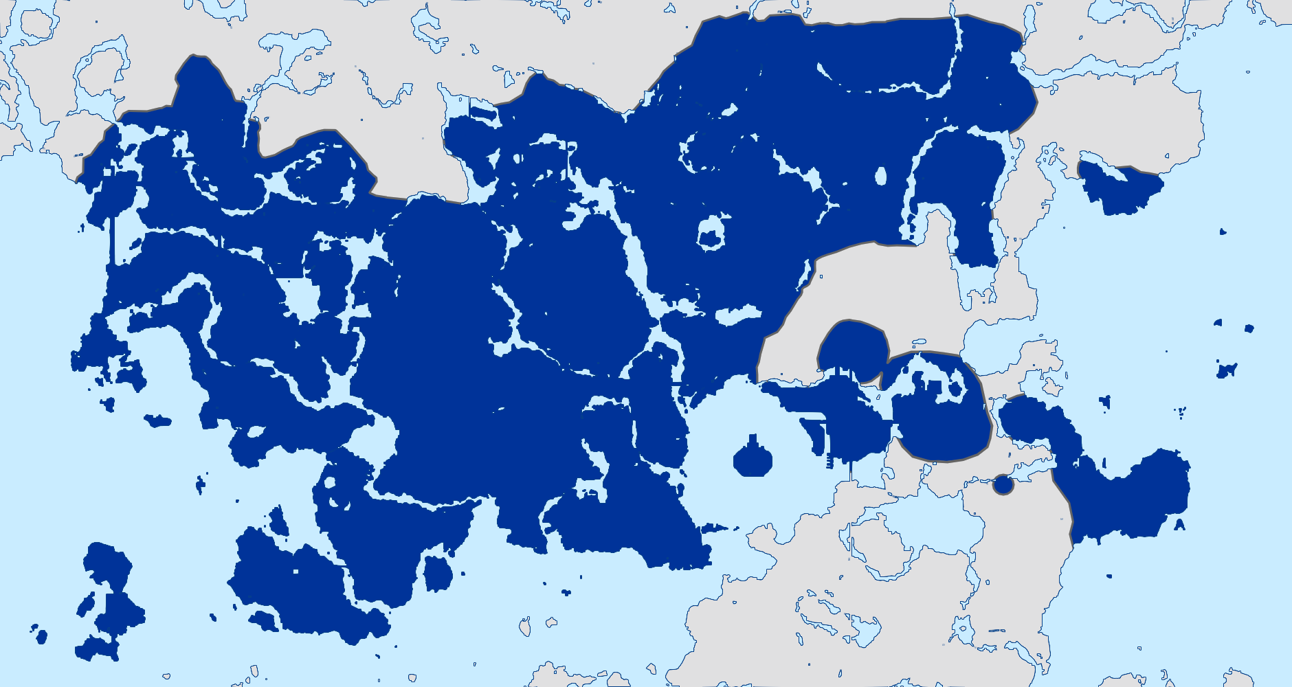
| Date/Time | Thumbnail | Dimensions | User | Comment | |
|---|---|---|---|---|---|
| 20:26, 2 July 2025 | 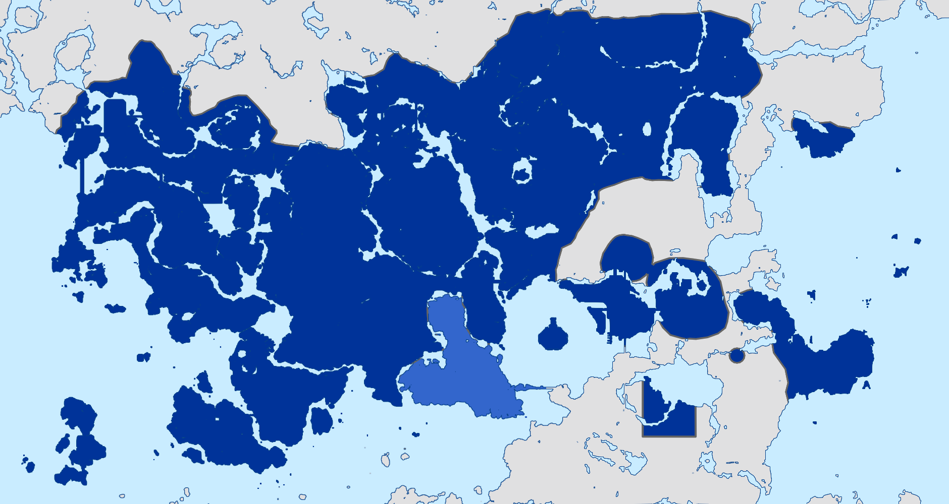 | 1,880 × 1,000 (394 KB) | Sheikah (talk | contribs) | ||
| 15:21, 30 April 2025 | 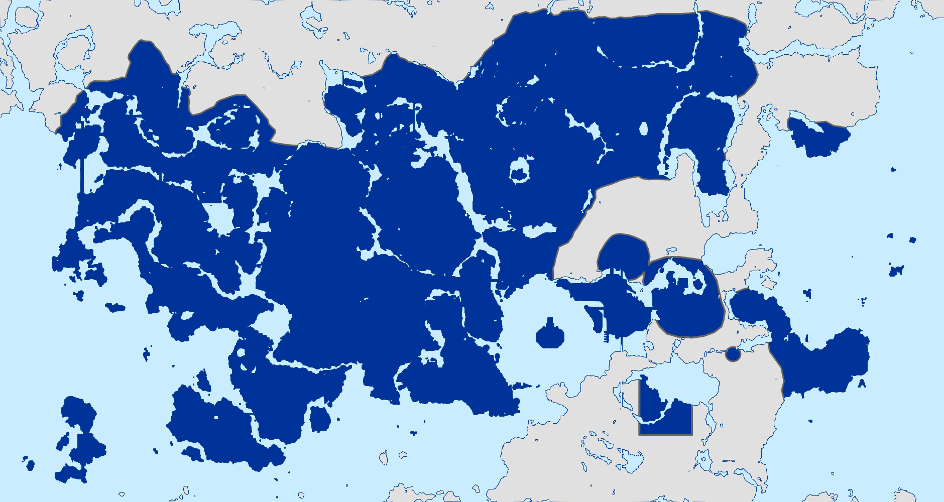 | 1,880 × 1,000 (282 KB) | Sheikah (talk | contribs) | arachana | |
| 20:07, 3 March 2025 | 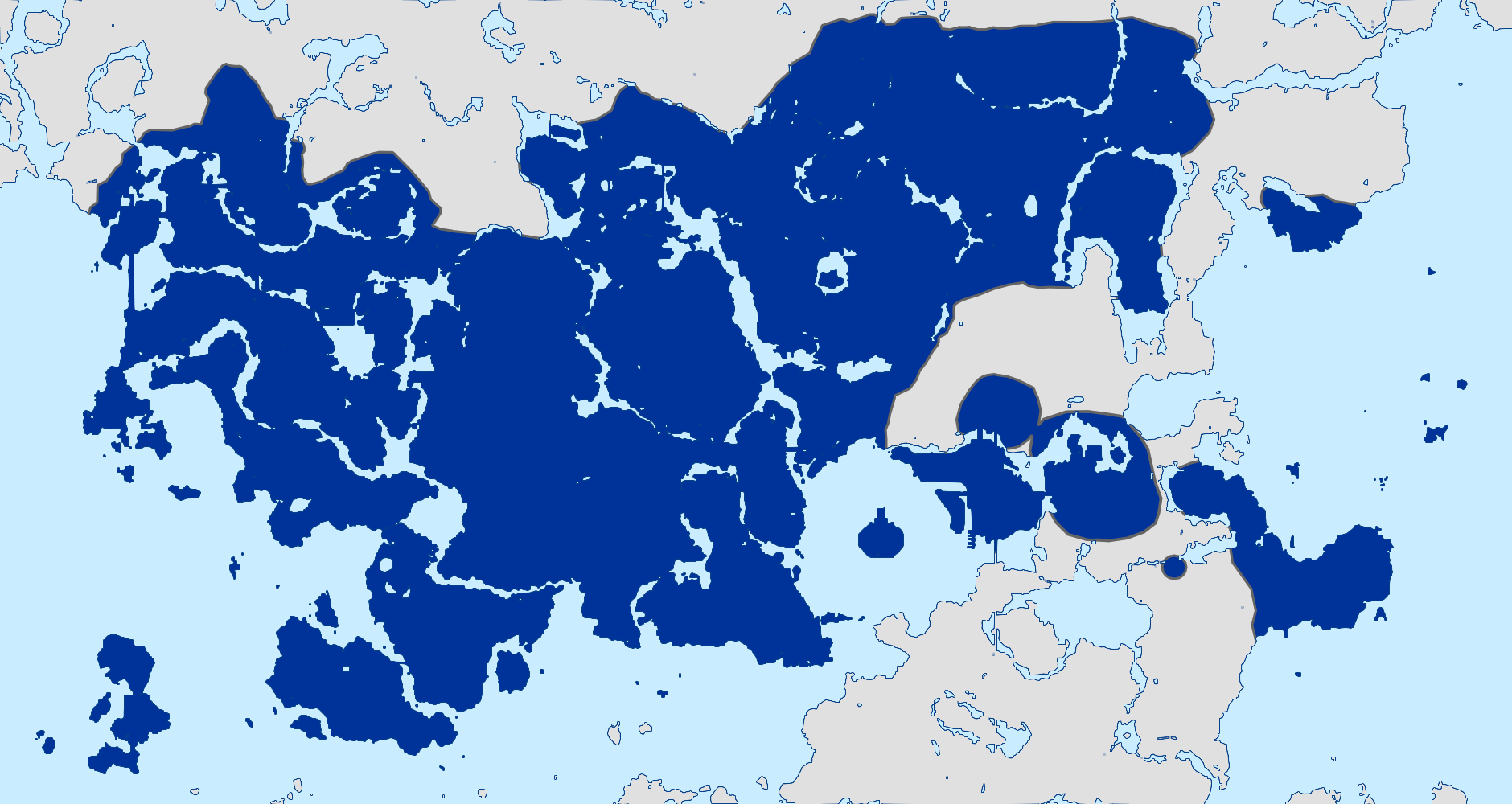 | 1,880 × 1,000 (286 KB) | Sheikah (talk | contribs) | ||
| 19:36, 3 March 2025 | 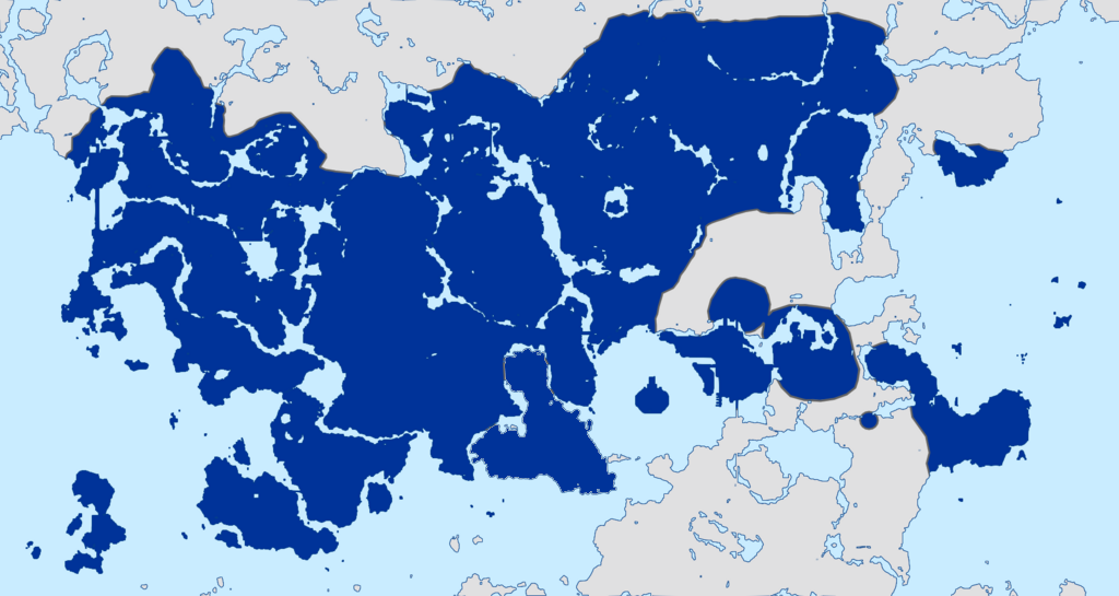 | 1,024 × 545 (303 KB) | CMCollective (talk | contribs) | Updated the KKC to include Monke Island | |
| 18:54, 28 February 2025 | 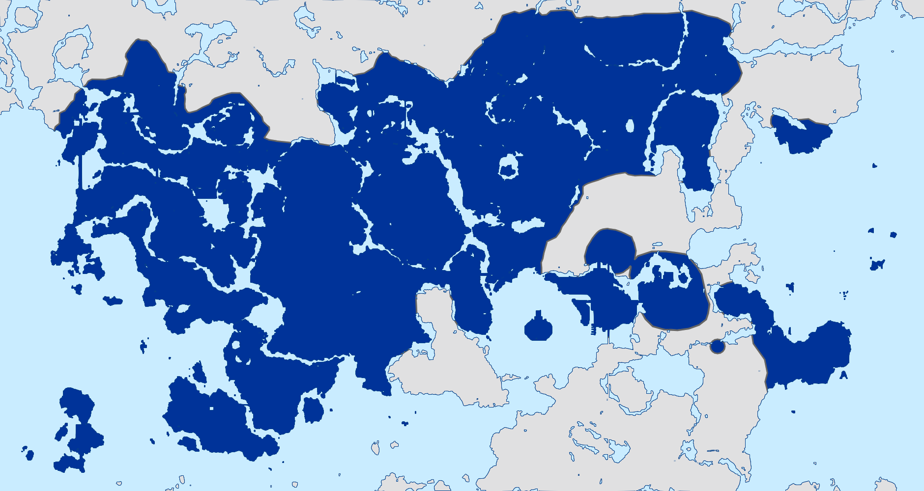 | 1,880 × 1,000 (288 KB) | Sheikah (talk | contribs) | corrected mapabal | |
| 20:30, 24 February 2025 | 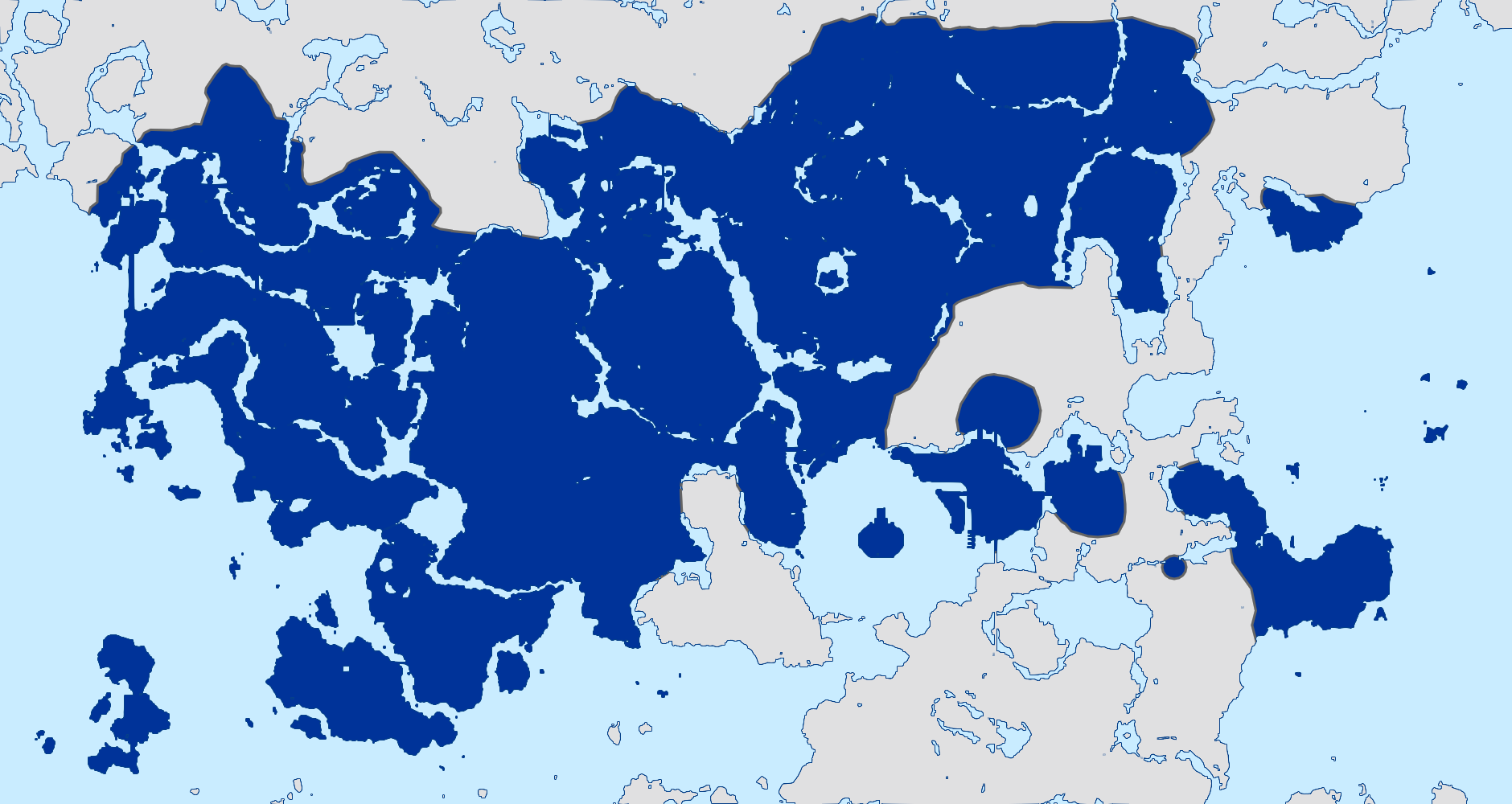 | 1,880 × 1,000 (286 KB) | Sheikah (talk | contribs) |
You cannot overwrite this file.
File usage
The following 2 pages use this file:
