File:East-pua-oblasts-map.png

Size of this preview: 800 × 493 pixels. Other resolution: 1,579 × 974 pixels.
Original file (1,579 × 974 pixels, file size: 275 KB, MIME type: image/png)
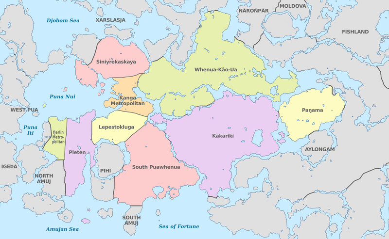
Map of Oblasts in the FRP
File history
Click on a date/time to view the file as it appeared at that time.
| Date/Time | Thumbnail | Dimensions | User | Comment | |
|---|---|---|---|---|---|
| current | 17:19, 7 October 2024 | | 1,579 × 974 (275 KB) | Sheikah (talk | contribs) |
You cannot overwrite this file.
File usage
The following 3 pages use this file: